Stormwater Quality
Stormwater originates from rain. It can soak into the soil and become groundwater, be stored in areas such as dams and ponds, evaporate into the atmosphere or contribute to surface runoff conveyed to creeks and other channels.
Stormwater runoff can carry pollutants and nutrients that are harmful to waterways, and excessive volumes of water can erode soil, damage riverbanks and impact infrastructure. Stormwater quality improvement is crucial for protecting waterways, preserving ecosystems and ensuring water quality for various uses.
Key initiatives
Council is working with a wide range of stakeholders in the community on initiatives to improve waterway health across the City.
Water quality monitoring
Water quality management enables us to guard against the decline of our waterways and incorporates monitoring the quality of water, implementing programs which protect the waterways and rehabilitating habitat alongside waterways.
Through water quality monitoring we can collect regular data of water quality to assess the impacts of activities on the overall health of the catchment, or the area from which all runoff water flows to a low point to form a creek or river and is surrounded by hills and mountains. Areas of concern can then be investigated and action plans developed in order to minimise any problems.
Some common indicators of environmental health of the water include:
- temperature
- nitrogen
- fauna and flora surveys
- pH
- turbidity
- conductivity
- dissolved oxygen
- phosphorus
Monitoring also helps to evaluate how effective water management initiatives are in improving water quality.
Reducing water pollution
Decreasing the amount of water pollution will directly help protect our waterways. Water pollution often comes from what goes down street side gutters which drain into local creeks and rivers so think carefully about what goes down the drain. The stormwater system is separate to the sewerage system so it all doesn’t flow to a treatment plant.
For further information see:
Importance of vegetation along waterways
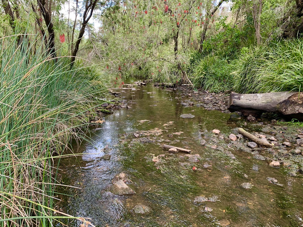
Native vegetation along banks plays a very important role in:
- the lifecycle of many native animals
- improves productivity of surrounding land
- decreased erosion
- improved water quality
- healthy ecosystems and restored biodiversity
- reduced flood damage
- increased property value
- food source for native animals and refuge during times of drought and fire
- improved soil fertility
- sediment control and filtration of nutrients
The land that adjoins, or directly influences a body of water is also known as a riparian corridor and includes:
- land immediately alongside small creeks and rivers, including the river bank itself
- gullies and dips which sometimes run with water
- areas surrounding lakes and dams
- wetlands and river floodplains which interact with the river in times of flood
These vegetated corridors act as the 'skin' that provides protection to a waterway, acting as a buffer between terrestrial and aquatic ecosystems and maintaining the health and viability of the waterway, by:
- holding bank soil in place and reducing the risk of bed and bank erosion
- filtering sediments and nutrients from surface run-off and groundwater
- regulating water temperature
- providing shade, shelter and organic matter for aquatic organisms, and
- 'shading out' exotic weed species
Riparian corridors are also an important socio-economic asset, providing an integral link between suburbs, supporting people movement, offering recreational opportunities and improving the visual amenity of the surrounding area.